We have a wide research profile and most of our activities belong to one of the following areas:
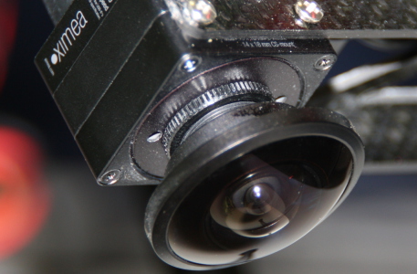
Vision
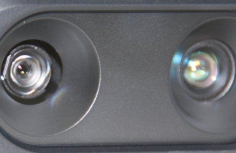
RGBD Perception
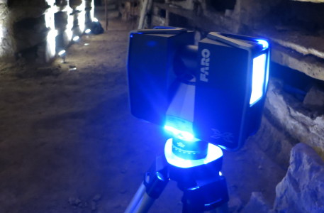
Laser Scanning

Agriculture Robotics
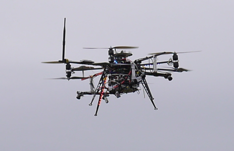
UAVs
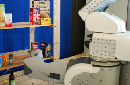
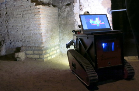
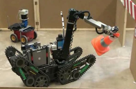
Service Robotics
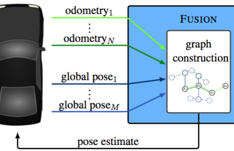
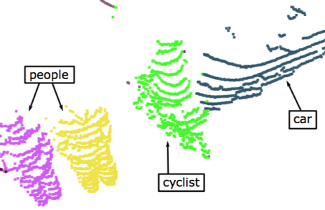
State Estimation
for Autonomous Driving
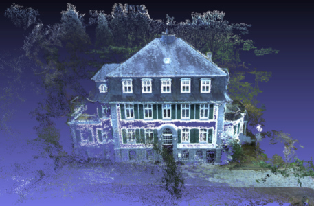
Simultaneous Localization
and Mapping
Autonomous Exploration
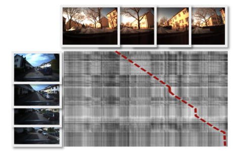
Localization & Place Recognition
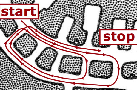
Navigation
Multi-Robot Coordination
Scene Interpretation
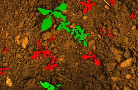
Classification