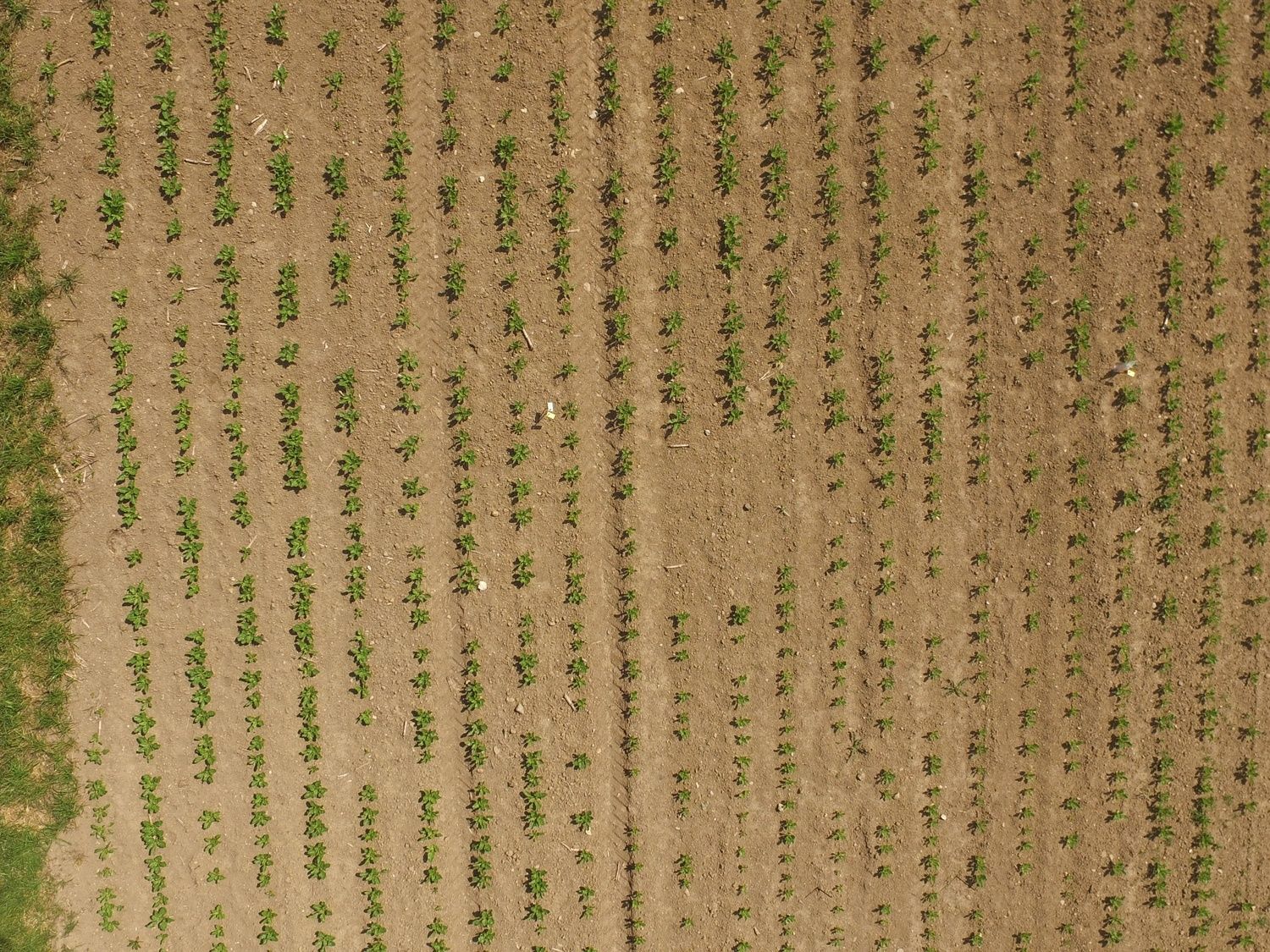
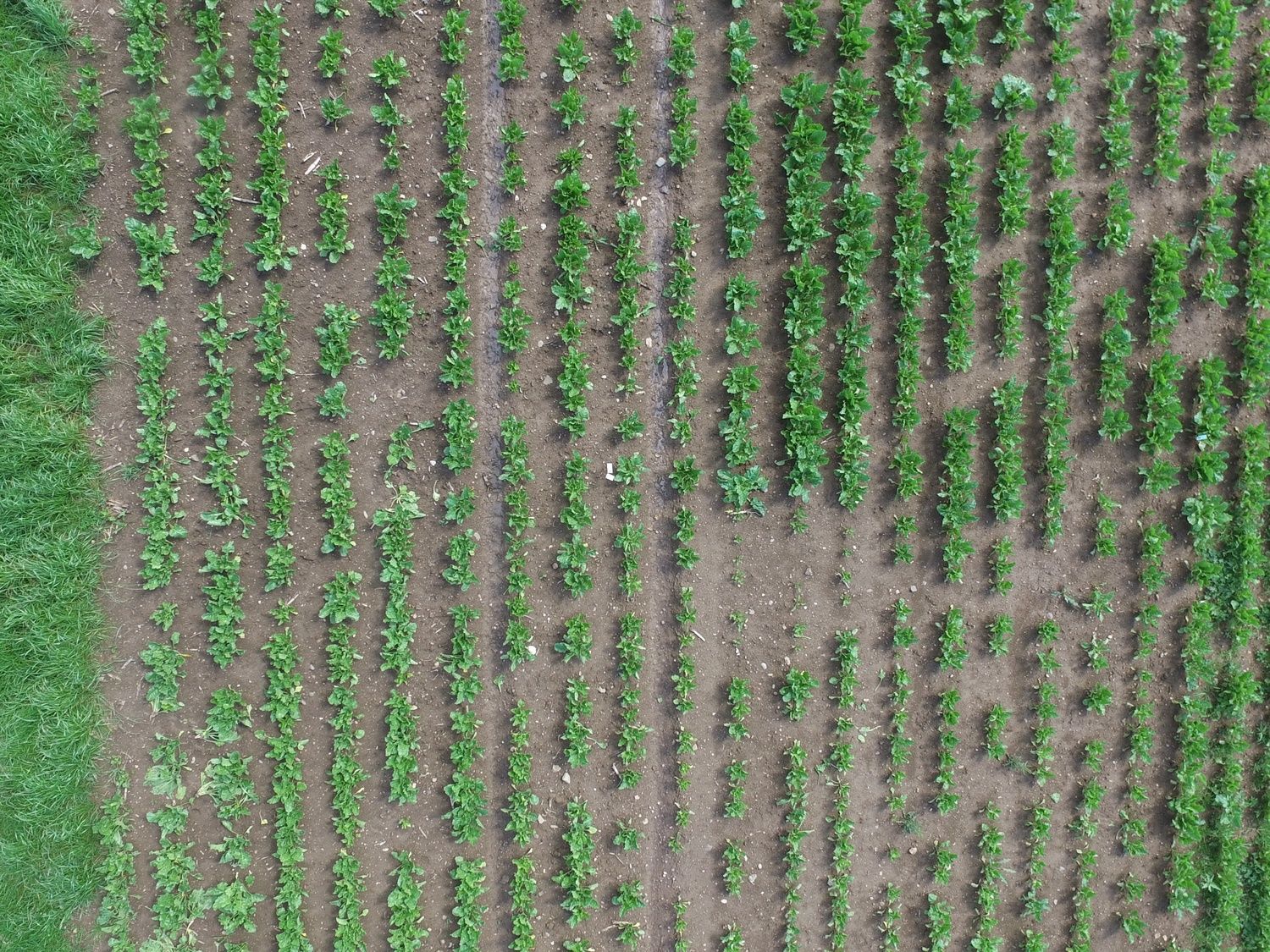
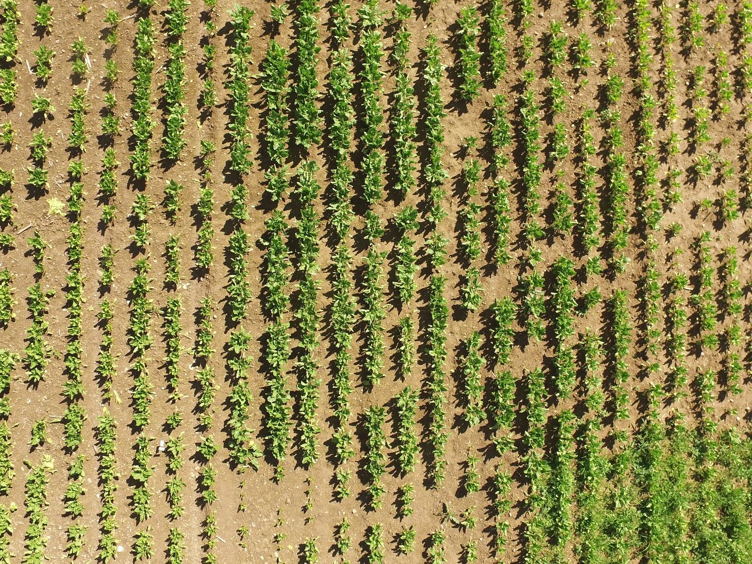
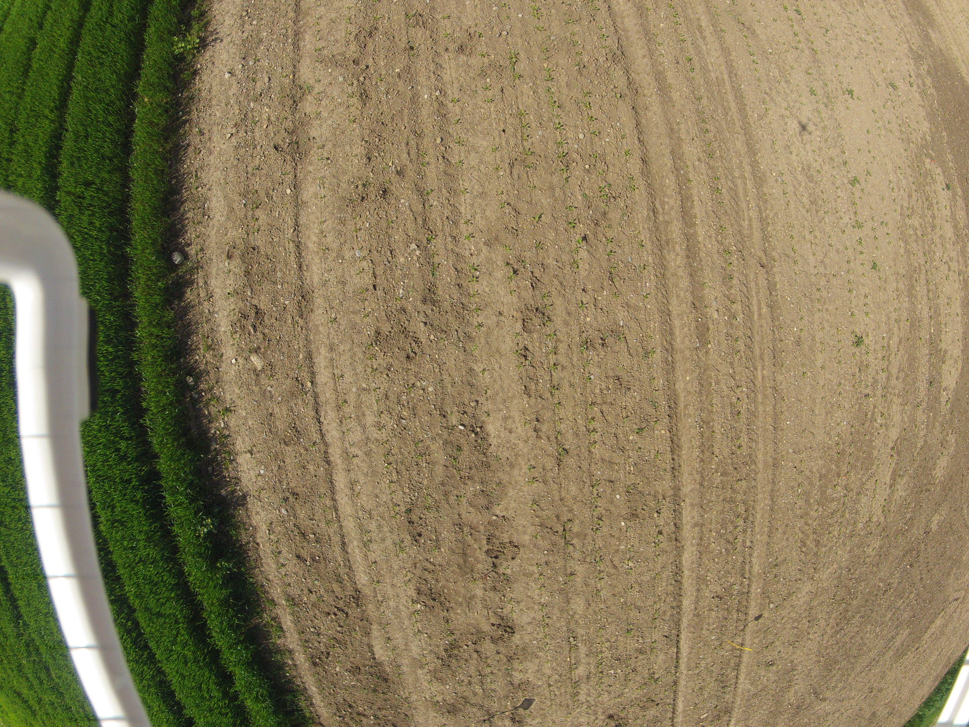
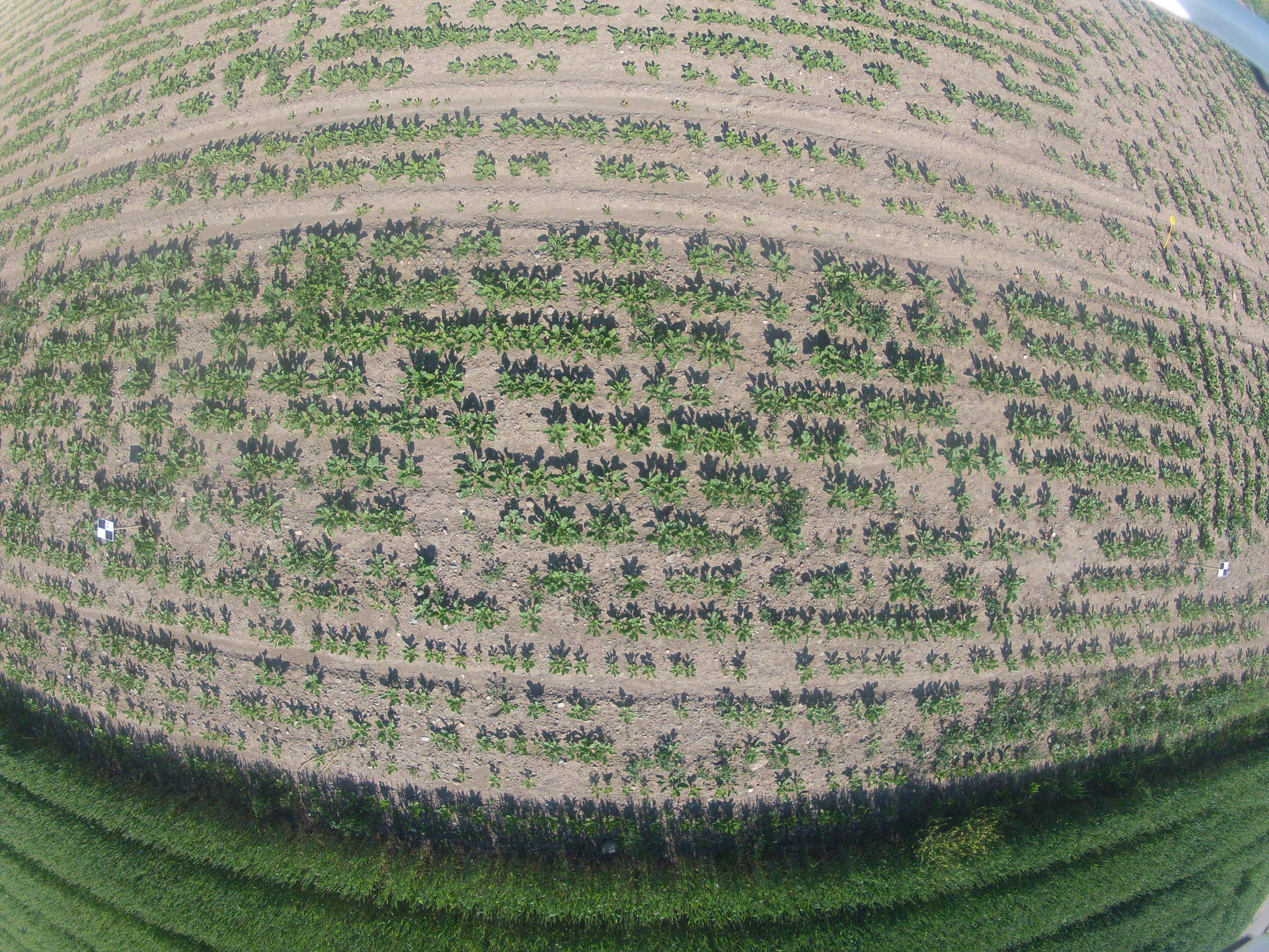
This page contains several datasets of sugar beet fields spanning over multiple weeks for two different fields. The following table gives an overview of the datasets
| Field | Ses. | Date | # of images | crop size | weather |
|---|---|---|---|---|---|
| A | 1 | May 20 | 45 | 7 cm | cloudy |
| 2 | May 27 | 175 | 10 cm | sunny | |
| 3 | June 17 | 121 | 15 cm | overcast | |
| 4 | June 22 | 140 | 20 cm | cloudy | |
| B | 1 | May 8 | 99 | 5 cm | sunny |
| 2 | June 5 | 95 | 15 cm | cloudy |
Field A:
For the first field (A), we recorded the datasets across four sessions using a DJI MATRICE 100 UAV. The flight altitude for each session is between 8 m to 12 m above the ground. We recorded the images using the Zenmuse X3 camera with an image resolution of 4000 × 2250 pixels having a ground sampling distance of 4 mm per pixel at a height of 10 m.

Download: Field A (1.7GB)
Field B:
For the second field (B), we used a DJI PHANTOM 4 UAV across two sessions recorded almost one month apart. The UAV was equipped with a GoPro camera set up to take an image every second at a resolution of 3840 × 2880. The flight altitude for the two sessions varied between 10 m and 18 m above the ground having a ground sampling distance of 9 mm per pixel at 15 m height.The average plant sizes in the fields range from 5 cm to 20 cm in diameter across the crop season.
Download: Field B (1GB)
Acknowledgements:
We thank Raghav Khanna, Frank Liebisch for assisting with the data acquisition campaign and ETH Zurich Crop Science group for providing access to the fields.